Here is a link to today's photos.
Altthough I saw a glimpse of sunshine at Radley railway station, by the time I got to Heyford, it was very misty, and a heavy dew was on the ground. The first photo shows Heyford Wharf and the railway station. Both this one and the next one show the mist.
There is a 15th centruty tithe barn just down from Allen's Lock (see photo).
My Pearsons guide book says that between Heyford and Somerton the canal assumes the character of a river, and that the towpath loses is formality. The next photo shows this. For the first three days, I thought it would have been OK to be wearing running shoes, but today this was a mistake because by now my feet were soaked (because of the dew).
From speaking to people, it would appear that Bill Batchelor and his supplies are well known on this Canal. The next three photos show him (with A.N.Other) with his barge and another in tow. Must be really hard work working through the locks.
And so to the Somerton Deep Lock. This lock rises the water by 12 feet. I'd been wanting to see this for some time. And luckily when I got there, there was a boat about to go up. It was a boat with 8 people from Sweden. See lots of photos.
You can see from these photos of Somerton Deep Lock that the weather had brightened up. Later it became quite hot.At lunchtime, the pub (see photo) was open. However, only me for a customer. I had a Ploughmans and a pint of Hooky which wasn't that great. There was a "cold" atmosphere, and I was pleased to leave.
The next photos show you the daily photo of a heron. (I wonder if it's the same one doing the same walk as me!)
And then there is a photo of the River Cherwell crossing the canal. Whilst I was there some novices made a pigs ear of crossing the River.
The rest of the afternoon was boring, but there was plenty to eat (see photo).
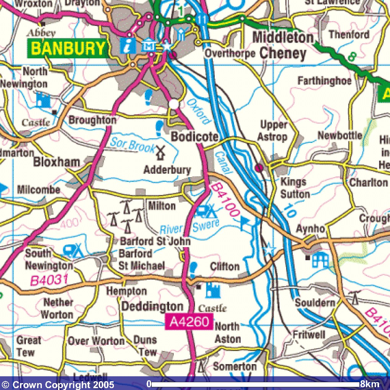
Images produced from the Ordnance Survey Get-a-map service.
Images reproduced with kind permission of Ordnance Survey
and Ordnance Survey of Northern Ireland.