First back along the B4425 for 2.5 miles to rejoin the D'Arcy Dalton Way. From there, the D'Arcy Dalton Way first goes via the villages of Westwell and Holwell (no photos). Then it then crosses the Roman road of Akeman Street, which at this point is a modern road (two photos).
Here is a link to today's photos.The next photo shows part of the Deadman's Walk, which the book by Nick Moon suggests was because it was necessary to carry coffins this way for burial at the parish church at Broadwell.
The next photo is abstract.
The next photo is a view of a maple tree.
The next photo is a view of the church at Broadwell.
Some more trees.
Unfortunately, the pub for lunch had been converted into a posh restaurant where a two course lunch costs 12.95! So on I went.
A bonfire (two photos).
The next photo says a bridge over the former East Gloucestershire Railway from Oxford to Fairford.
Some tyres (one photo).
And so to the Clanfield Tavern for two halves and a ham and cheese sandwich whilst waiting for the bus back. It was a half of Bank's Bitter (excellent) and a half of Brakspear's Special (which I didn't like so much).
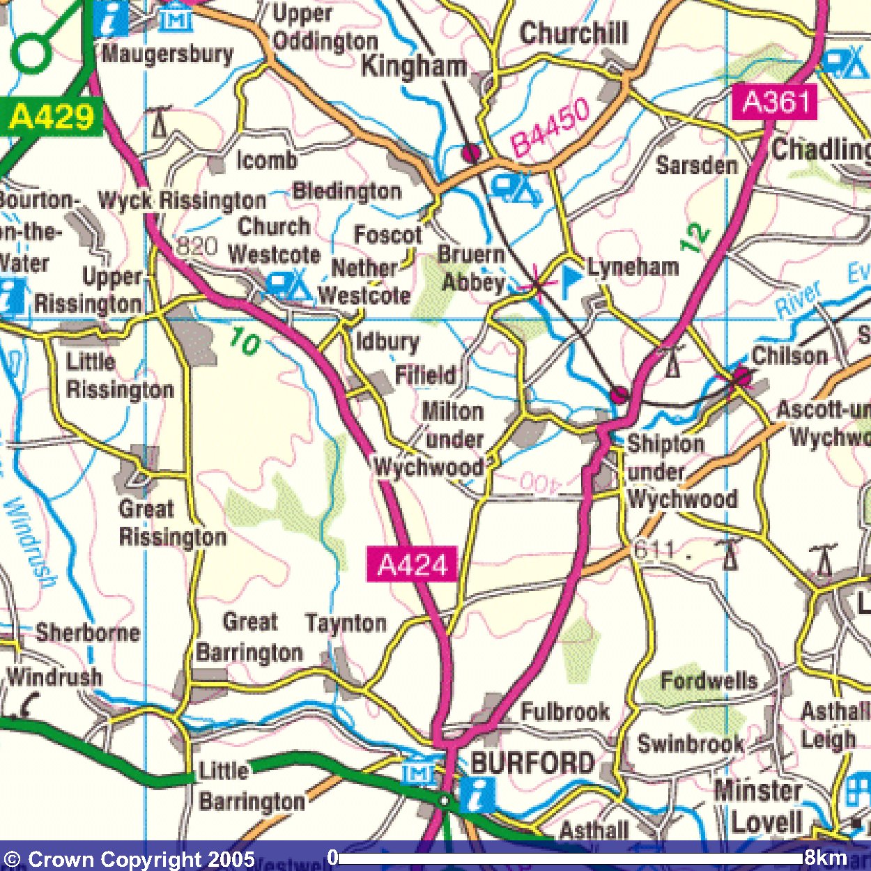
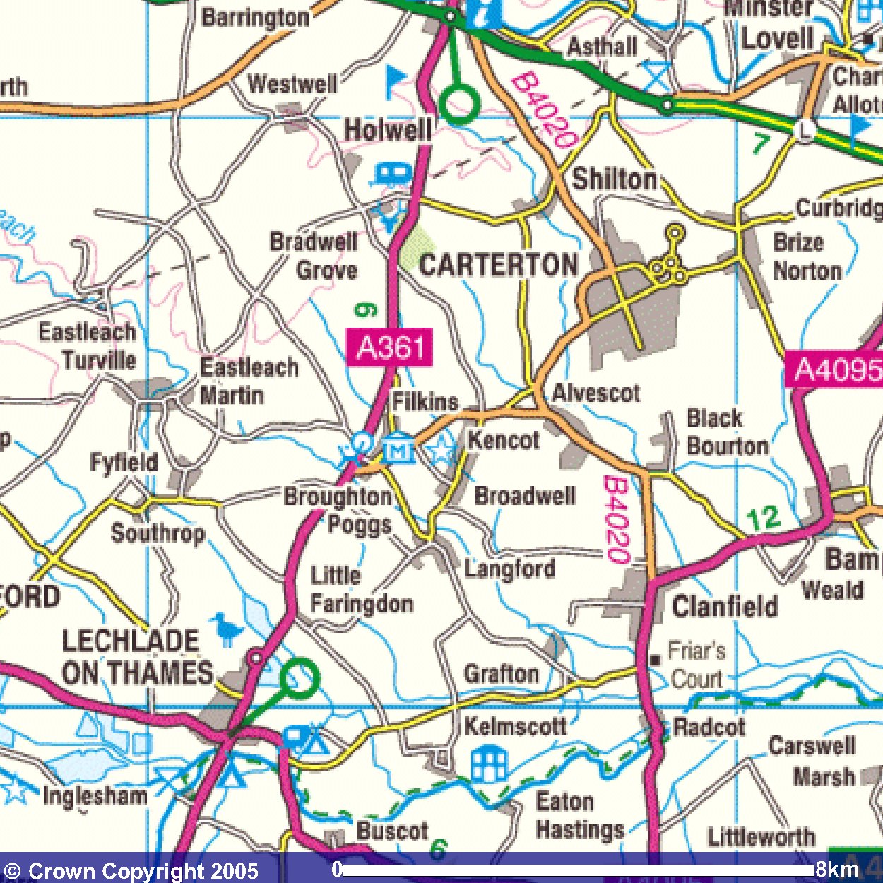
Images produced from the Ordnance Survey Get-a-map service.
Images reproduced with kind permission of Ordnance Survey
and Ordnance Survey of Northern Ireland.