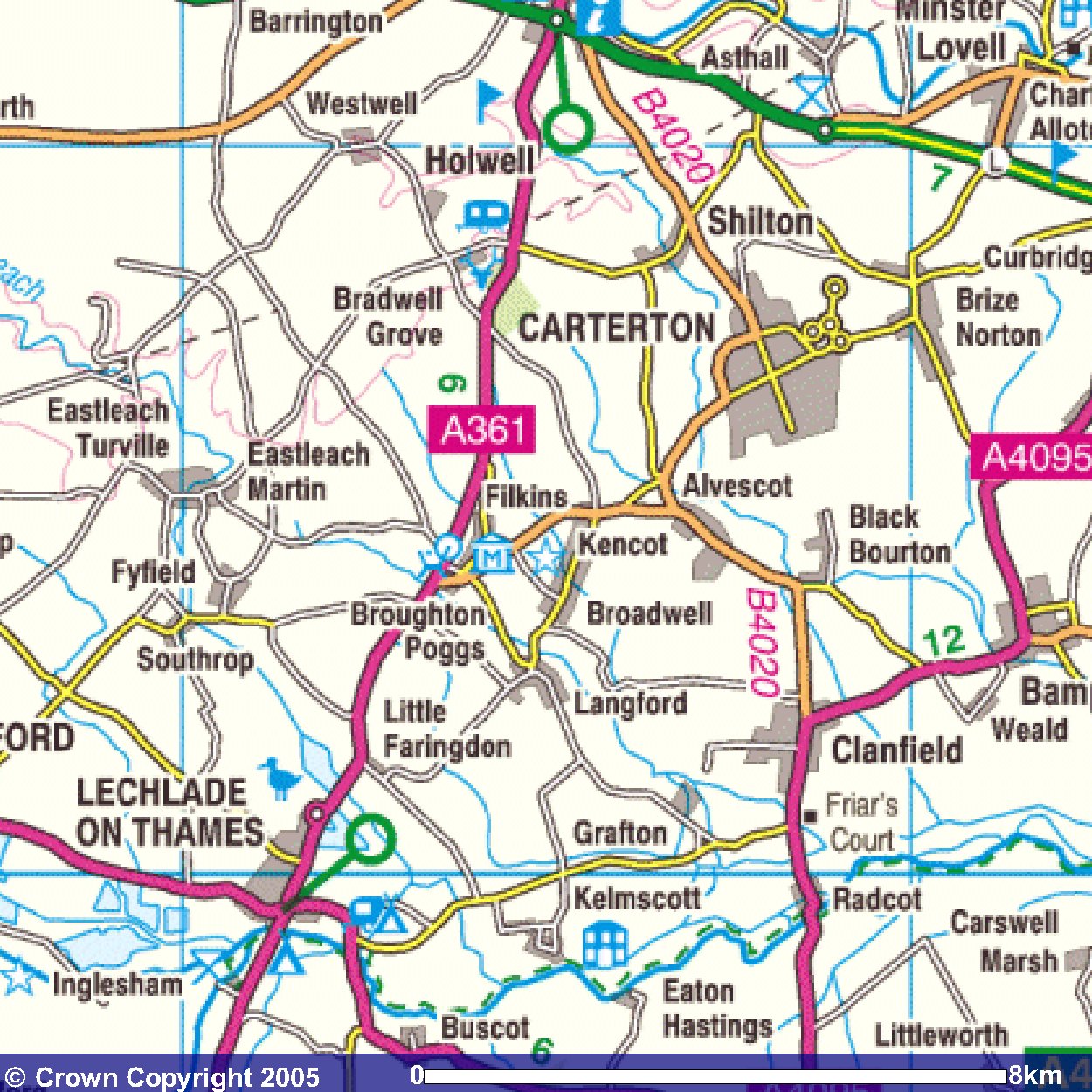
The first important point today is the bridge at Radcot which is reached after just 1.6 miles. This is where the Way crossing the Thames. See photo.
Here is a link to today's photos.
The Way aims SW from Radcot just inland from the Thames across fields where there are many cows (see two photos).
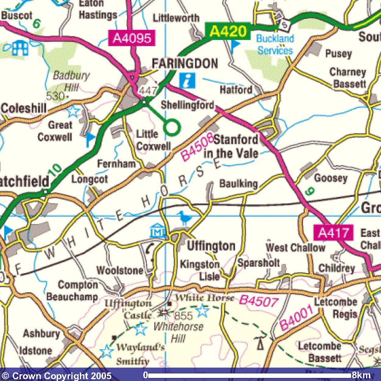
The next village is Eaton Hastings. See photo of its church. Note: on the next map, Eaton Hastings is on the left.
The route avoids Banbury Hill by going west of it skirting Coleshill to reach the A420 just north of the roundabout shown on the map.
From the A420, there is a view South to the area of the White Horse (see photo), but I had difficulty in making out the White Horse. Of course, that is one of the highlights of tomorrow's walk!
Images produced from the Ordnance Survey Get-a-map service.
Images reproduced with kind permission of Ordnance Survey
and Ordnance Survey of Northern Ireland.